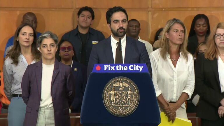
NYC DOT has a new pitch for safer streets, and it comes with cameras. On June 2, Commissioner Mike Flynn announced the city is rolling out “privacy-protective” street activity sensors, scaling up from a 2023 pilot of 20 intersections to about 100 locations citywide, with one of the new sensors going up in Greenpoint. “Safer street design starts with understanding what is actually happening on the street,” Flynn said.
The sensors do sound careful. DOT says the video is processed in real time and immediately discarded, faces and license plates obscured, only anonymous counts kept. They can spot where people cross mid-block instead of at the corner, which the agency says could flag where a new crosswalk belongs. For a Greenpoint intersection that has watched cyclists and box trucks fight over the same asphalt, more data is not nothing.
Then you see the size of it. The expansion costs roughly $200,000 in city money on top of the $100,000 pilot, for a network of about 100 locations on a street grid that runs roughly 6,000 miles. Jon Orcutt, a transit advocate and former DOT policy director, is openly skeptical that a sample that small means much. “There are 20 or 25 sites where bikes are counted,” he told Gothamist. “You get a very small data set from that. You know we have 6,000 miles” of streets.
The other open question is what the public ever sees. DOT says it will put some of the sensor data on its open-data portal, but it has not committed to releasing the full dataset, and Orcutt is pushing it to go further. So the people paying for the sensors are being asked to trust both that 100 intersections is a meaningful sample and that more than a slice of the results will ever be shared. DOT’s deputy commissioner for transportation planning and management, Eric Beaton, argues the sensors capture richer detail than a person with a clipboard could, which is true, and is also not the same as full transparency.
DOT has not named the Greenpoint corner getting a sensor, or any of the roughly 80 new sites. So for now this is a citywide safety initiative whose exact locations, full dataset, and release plan are all still to be announced.
You can read the announcement and how the sensors work on DOT’s Street Activity Sensor page, which is the place to watch for whether the city names the sites and commits to making the counts public. If it does not, the next Community Board transportation meeting is where a Greenpoint resident can ask which corners get cameras and how much of the data the city will actually publish.
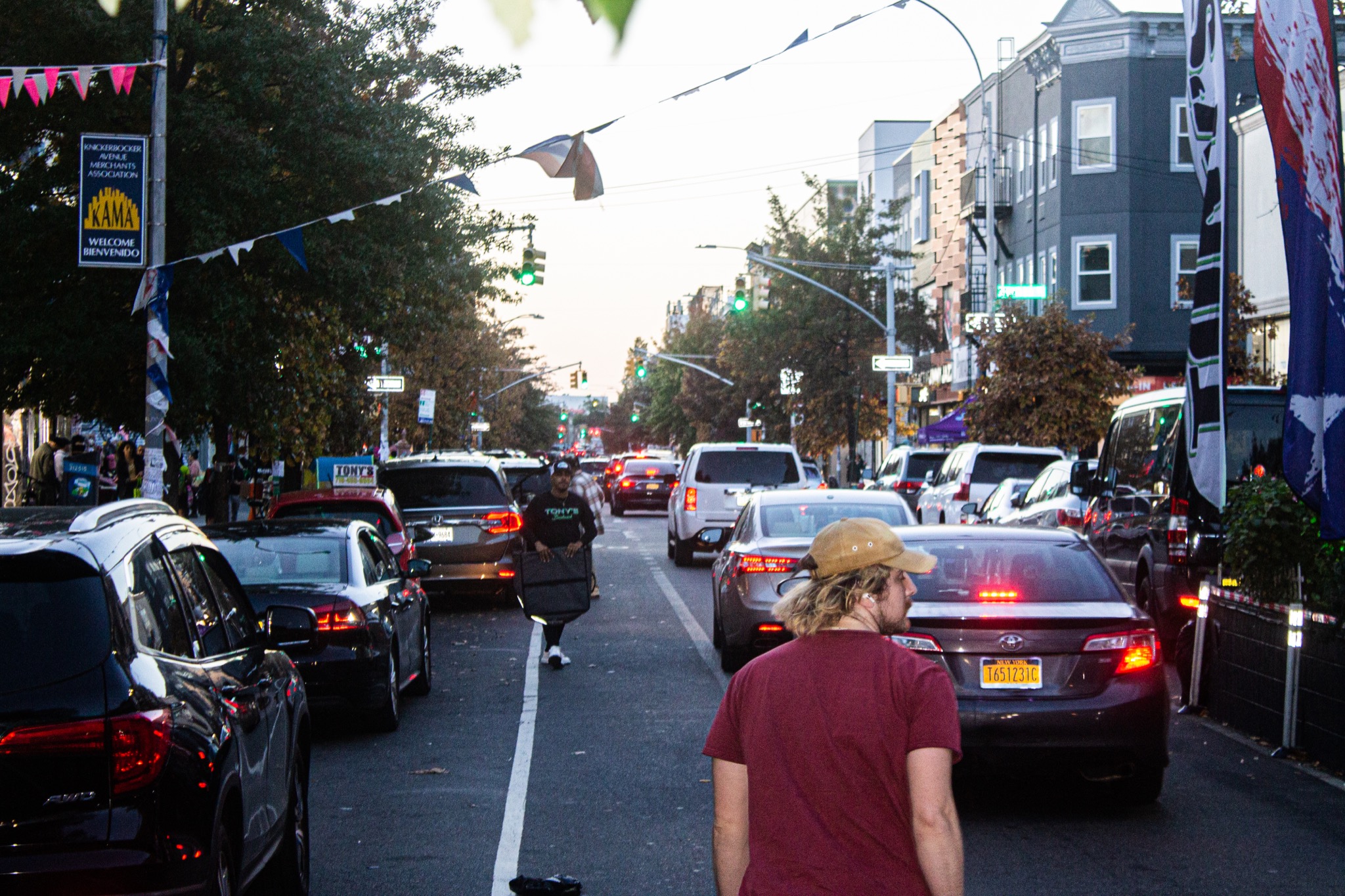
Featured image: Bushwick Daily